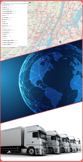
Gisgraphy provides forward and reverse geocoding, geolocalisation, and vehicle tracking web services. Gisgraphy uses a unique, worldwide and consolidated Addresses / POIs database (+500 million entries). We offer off-line (on-premise / local installation), online (hosted web-service), and database extracts (CSV or SQL) to use in Gisgraphy or an external project (commercial or not).
Read more Try our Map Demo Explore the Web ServicesGisgraphy provides worldwide coverage and is based on open data (Openstreetmap, Openaddresses, Geonames, and Quattroshapes). Our code is open(source)1 and freely available on Github. Gisgraphy can be used for commercial purposes without restriction : You can cache, store, or display results on any map (unlike Google Maps). Want to find out more about relevance and coverage ? want to compare the relevance with other geocoders ? Don't know where to start ? Read more
Promotion : for all new subscribers, get 25% off for their first subscription. Subscribe now
Find places, POIs, cities, streets within a given radius around a GPS point. Results include and can also be sorted by the distance from the given point. 130+ POIs category available (e.g : restaurant, station, ATM, Post office, Doctor, Parking, tourist information office). Very powerful when coupled with the reverse geocoding service to find places close to an address.
For a given text and an optional GPS point, find places, POIs, cities, streets, zip codes,...with its information (coordinates, states, population, elevation, alternate names in different languages and alphabets). Many options available : Auto-completion (as you type), location bias, fuzzy, spell checking, place type filtering,...
Divide a single address (as a string) into its individual component parts : house number, street name, unit (apt, building, ...), zip-code, state, country, city. Manage PO boxes and address format in 60+ countries. This software is not opensource and can be used online as a web service or a license can be purchased for unlimited off-line use.
Only interested in data ? We have built a unique and worldwide addresses, POIs, streets, cities, and administrative divisions database. Split by country, available in CSV or SQL format. We use a wide variety of high quality open data sources : Openstreetmap, Openaddresses, Geonames, Quattroshapes. For each dataset, we aggregate and merge, de-duplicate, and consolidate the data
- Addresses : +416 million
- POIs : +40 million
- Cities : +4.8 million
- streets : +110 Million
+416 million addresses
+40 million POIs
+4.8 million cities
+110 Million streets
Whether you need to run things locally on your servers or you don't want to worry about hosting, we have solutions :
Subscribe to our hosted premium web-services. No downloading, no installation and configuration. You won't worry about the technical details, we handle that, you just use it ! Choose a rate (number of requests per minute) and we take care of performance and SLA. Plans start at 80€. We scale from small to high number of requests.
Gisgraphy can be run totally off-line, the data are stored on your server. There are many installation options including
Gisgraphy is a framework, as a result, it's flexible and powerful enough to be used in a lot of different use cases. We provide various solutions to simplify things :
Our services are affordable. The price starts is from 0.000023 € to 0.000093 € per requests / month*. The price of our addresses, streets, or POIs database in CSV format is simple because you pay per line.
No surprises :
If you do something cool with Gisgraphy or you have questions, Contact us